Our Services
Our services :
Our Projects :
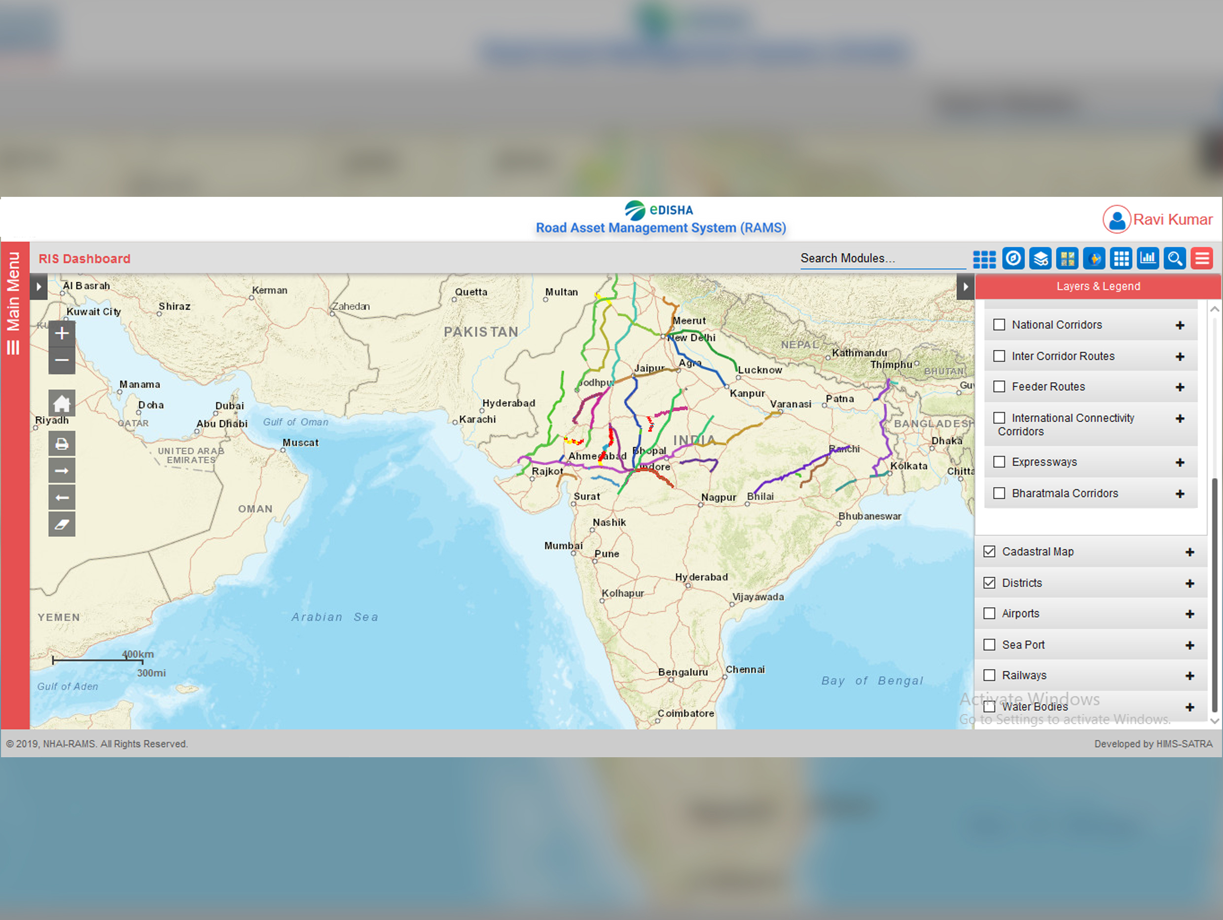
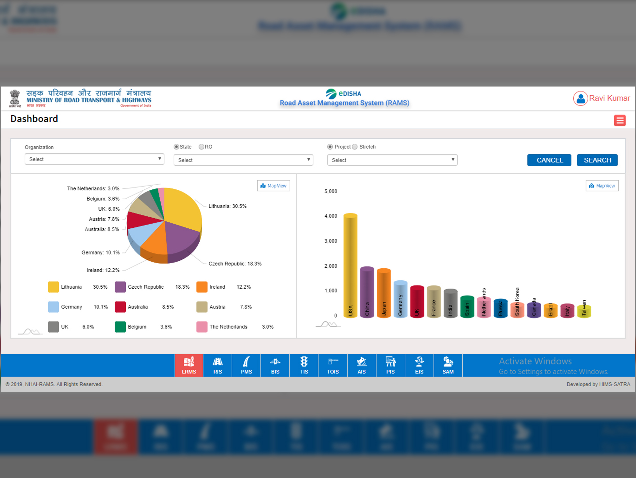
Road Asset Management System (RAMS) helps in managing road infrastructure efficiently.
Road Asset Management System (RAMS)
SATRA is a thought leader in state-of-the-art techniques being adopted globally for design, maintenance and supervision of:
Our Projects :

Detailed Project Report for 5.6 km long 4-lane Extradosed Composite Bridge of 242 m Span in the state of Bihar, India.

Detailed Project Report for the Construction of New Bridge across River Ganga on NH19, India.
Our services :
Our Projects :

Detailed Project Report and Final Location Survey for various stretches of 900 km in Western Railway Zone

General Consultancy Services for East Coast Railway (review and monitor progress across all contracts being executed under CAO/Construction)
Our Services :
Our Projects :

Detailed Project Report and Final Location Survey for various stretches of 900 km in Western Railway Zone

General Consultancy Services for East Coast Railway (review and monitor progress across all contracts being executed under CAO/Construction)
State of the art Equipment:

Network Survey Vechile

Ground Penetrating Rader
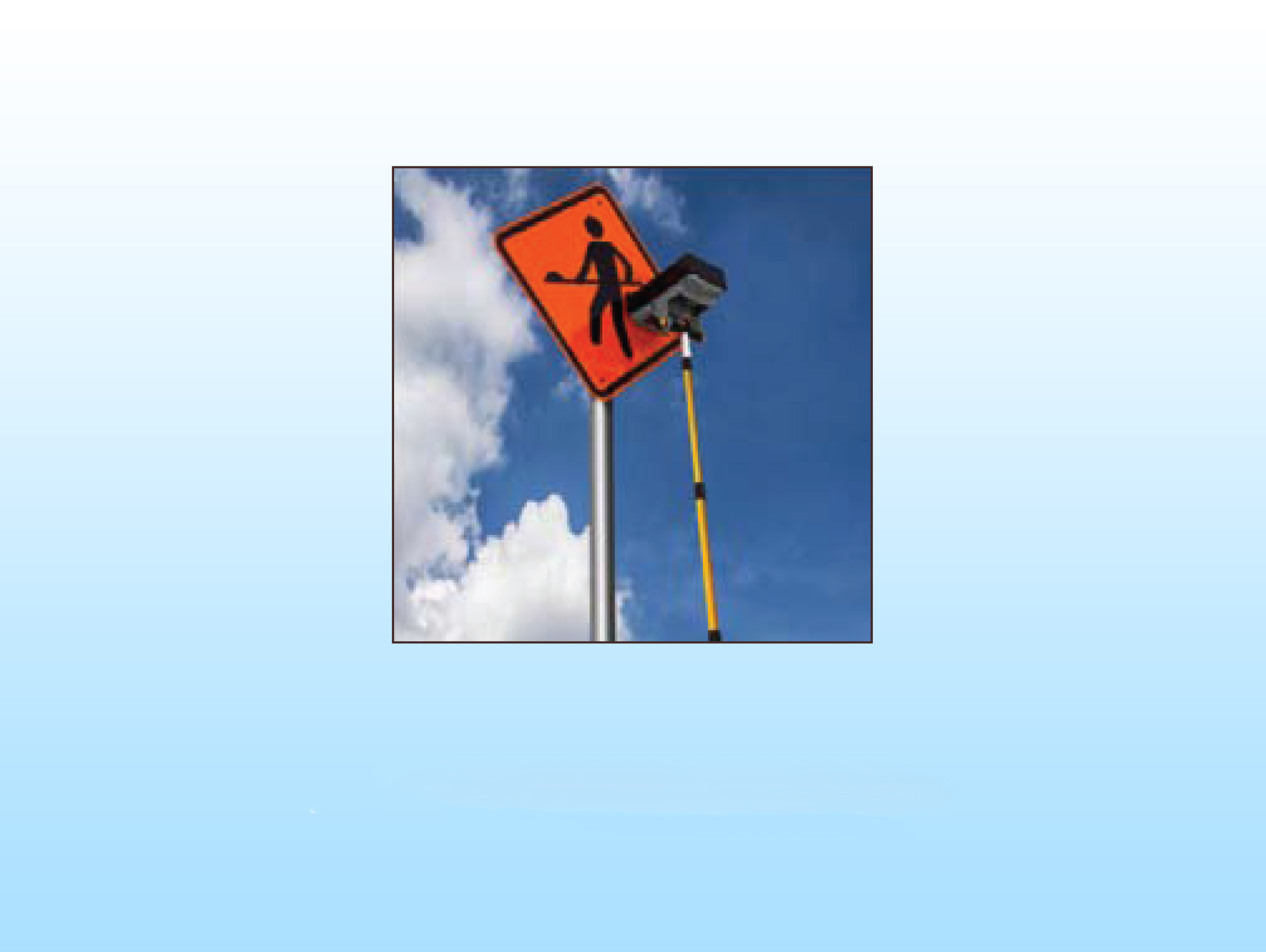
Retro Refelctometer

Mobile Bridge Inspection Unit

Vehicle Mounted Falling Weight Defelectometer
Our Projects :

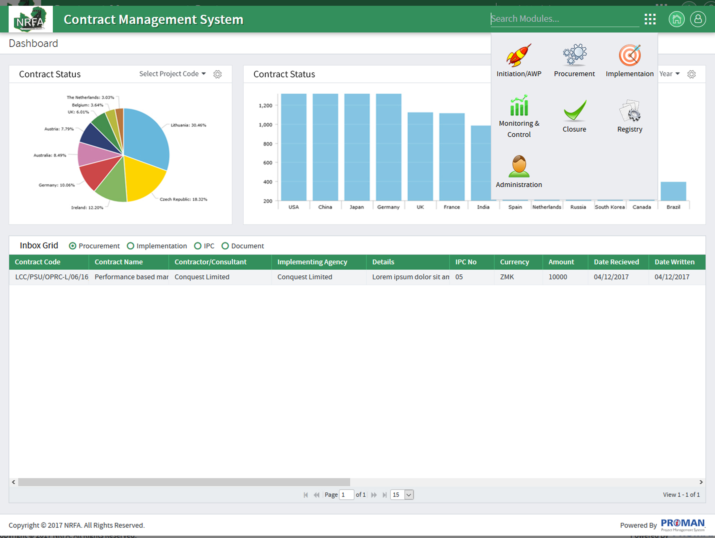
Implementation of Malawi National Address Database
This project aims to analyze and enhance the Malawi Addressing System by developing a map-based web application. The platform will serve both the department and citizens, offering seamless access to location-based information and services.
Designed to address diverse e-commerce requirements, the application integrates features to explore and manage properties across various zones. It enables individuals to perform targeted searches and supports the department in efficient maintenance and data management.

Culvert data collection APP
This mobile application is designed to support the Road Development Authority (RDA) of Sri Lanka by collecting year-wise inventory and condition data of culverts and retaining walls. The app identifies structures using latitude, longitude, and chainage generation for precise location tracking.
The application enables efficient data collection through geotagged images and is equipped to function seamlessly in both offline and online modes, ensuring reliability and flexibility for field operations.
Our Projects :
Our unparalleled range of services :
Our Projects :

GIS Services for Digital India Land Records Modernization Programme (DILRMP) in Madhya Pradesh
This project aims to analyze and enhance the Malawi Addressing System by developing a map-based web application. The platform will serve both the department and citizens, offering seamless access to location-based information and services.
Supported the digitization and mapping of land records, improving the accessibility, accuracy, and management of land data, contributing to more efficient governance and reduced land disputes in the state.

GIS-Based Property Tax Register and Multi-Purpose Household Survey for Gwalior Municipal Corporation
Delivered GIS services to develop a comprehensive Property Tax Register for Gwalior Municipal Corporation, integrating spatial data to streamline tax assessments and improve property tax collection efficiency.
Conducted a Multi-Purpose Household Survey using GIS technology, enhancing urban planning, service delivery, and resource allocation by providing accurate and real-time data for informed decision-making in the municipal area.
Our Services :
Our Projects :

Project Management Services for the Four-Laning of NH-161 (Kandi to Ramsanpalle) under Bharatmala Pariyojna, Telangana
Delivered comprehensive project management services for the four-laning of National Highway 161, covering 40 kilometers from Kandi to Ramsanpalle in Telangana, under the Bharatmala Pariyojna initiative, aiming to enhance road infrastructure and connectivity.
Managed all project phases, including planning, execution, and monitoring, under Hybrid Annuity Mode (Package-1), ensuring adherence to timelines, budget, and quality standards while maintaining safety and compliance.

Employer’s Engineer for Supervision of Roads and Services in Activation Area and ABCD Building in Dholera Smart City, Gujarat
Acted as the Employer’s Engineer, overseeing the supervision of road infrastructure and essential services in the Activation Area, along with the construction of the ABCD Building in Dholera Special Investment Region (DSIR), Gujarat, as part of the Dholera Smart City development.
Ensured quality control, adherence to specifications, and regulatory compliance, contributing to the timely completion and successful execution of infrastructure works for the sustainable growth of Dholera Smart City.
Our Projects :

E-Governance Services for Promoting “Ease of Doing Business” in Himachal Pradesh, India
Provided IT solutions and e-governance services to the Government of Himachal Pradesh to promote the "Ease of Doing Business" initiative, streamlining processes, automating services, and enhancing transparency.
Delivered digital solutions that simplified government procedures, improved service efficiency, and provided businesses with real-time access to key information, reducing bureaucratic hurdles and fostering a more business-friendly environment.

System Integrator for Computerization of 15,000 Co-operative Societies across India under the Ministry of Cooperation
Acted as the System Integrator for the computerization of 15,000 co-operative societies across India under the Ministry of Cooperation, modernizing operations and enhancing efficiency through digital platforms.
Delivered e-governance services, including the design and implementation of integrated software solutions, enabling real-time data management, improved transparency, and streamlined administrative processes for better governance at the grassroots level.
Our Projects :
